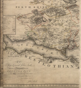
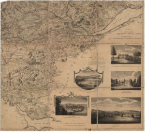
 NATIONAL LIBRARY OF SCOTLAND – JOHN AINSLIE’S 1775 – COUNTIES OF FIFE AND KINROSS – Broomie Know located just above the “I” in Saline; Thornyhill not marked, but located west, southwest of Saline, between Dolly and Craigluscar. Culross (although actually in Perth) also on this map, south of Saline along the north shore of the River Fourth.
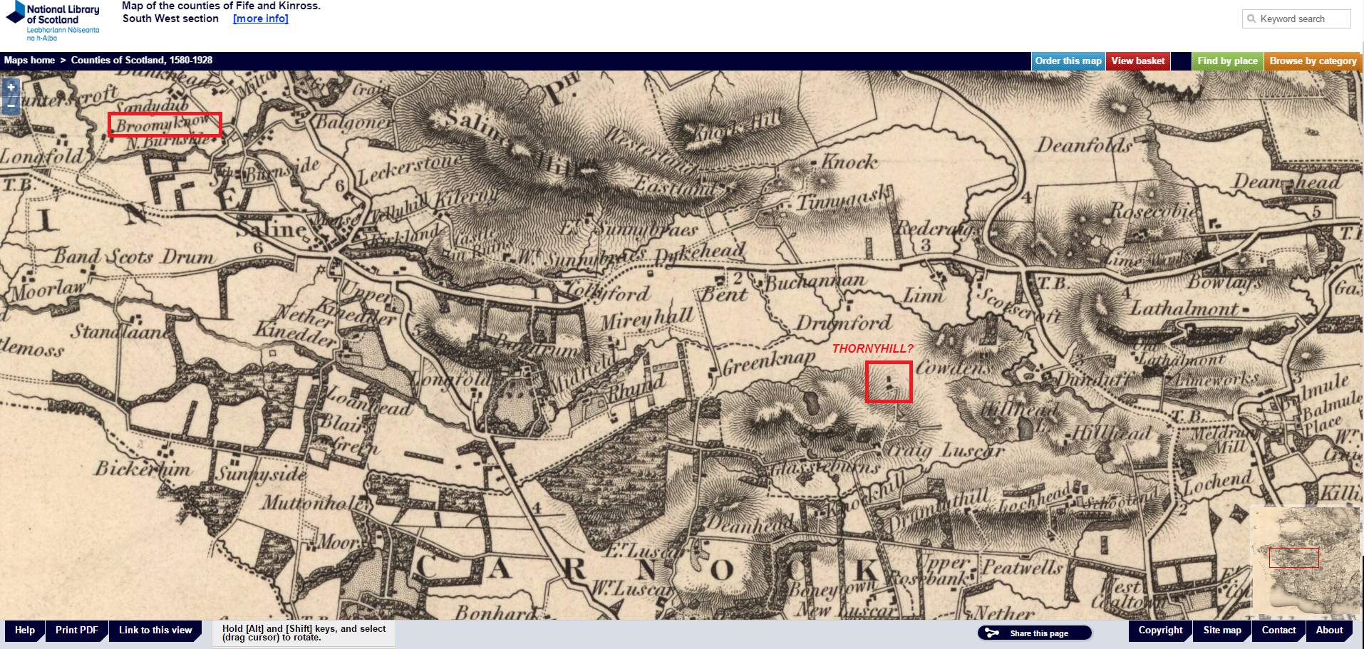
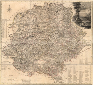
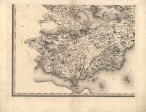 NATIONAL LIBRARY OF SCOTLAND – T. SHARP, C. GREENWOOD, & W. FOWLER 1828 – MAP OF COUNTIES OF FIFE AND KINROSS – Broomie Know located just above the “N” AND “E” in Saline; Thornyhill not marked, possibly located west, southwest of Saline, just above Craig Luscar. Kinross also on this map adjacent to Loch Leven.
DETAIL OF THIS MAP WITH BROOMIE KNOW AND POSSIBLY THORNYHILL MARKED NEAR SALINE
 NATIONAL LIBRARY OF SCOTLAND – JAMES STOBIE’S 1783 – COUNTIES OF PERTH AND CLACKMANNAN – SOUTHEAST SECTION – Showing location of Clackmannan and Culross in southernmost section..
 NATIONAL LIBRARY OF SCOTLAND – JAMES STOBIE’S 1805 – COUNTIES OF PERTH AND CLACKMANNAN – Showing location of Clackmannan and Culross in southernmost section.
 NATIONAL LIBRARY OF SCOTLAND – JOHN THOMPSON’S 1827 (1832) COUNTIES OF PERTH AND CLACKMANNAN BOTTOM RIGHT SECTION – Showing location of Clackmannan and Culross in southernmost portion.
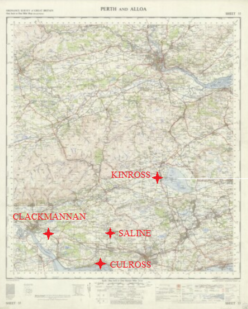
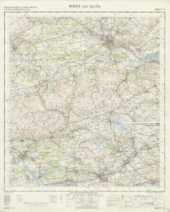 NATIONAL LIBRARY OF SCOTLAND – 1957 ORDINANCE SURVEY MAP – Includes Hardie Family Towns of Clackmannan, Saline, Culross, and Kinross.
THIS MAP WITH HARDIE FAMILY TOWNS MARKED
DETAIL OF THIS MAP WITH BROOMIE KNOW AND THORNYHILL MARKED NEAR SALINE
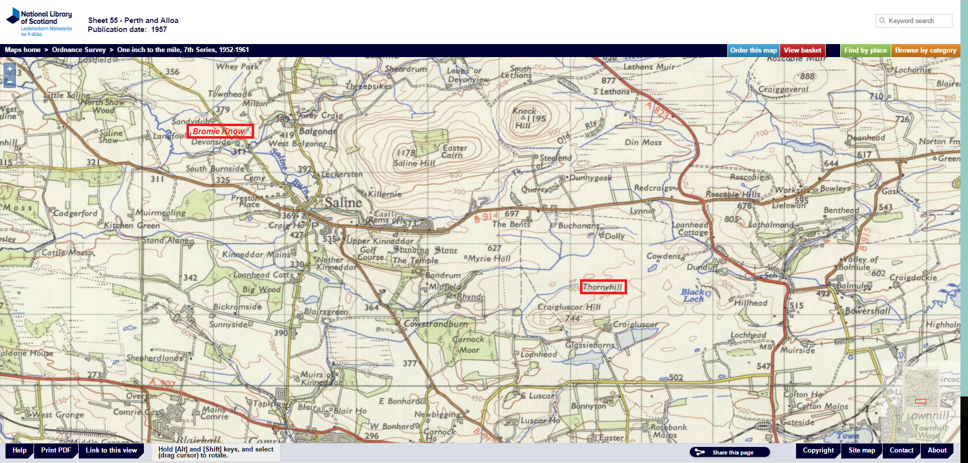